
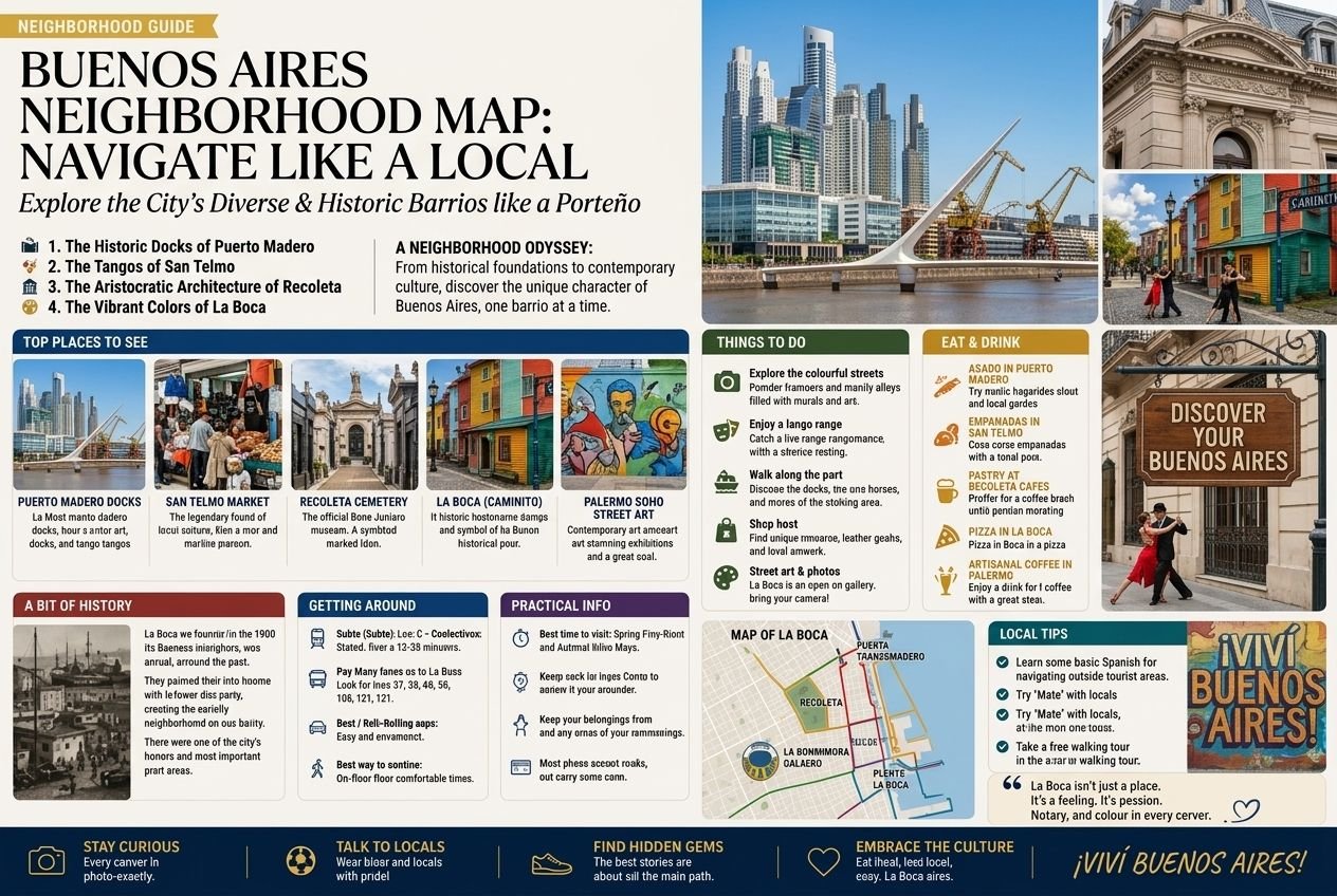
Buenos Aires can feel disorienting on a first visit: the city is large, the grid is not always intuitive, and the neighbourhoods that matter most to visitors are spread across a wide arc rather than clustered tightly together. This guide gives you the mental map that locals actually use to think about the city, which is more useful than memorising a street grid.
The Basic Shape of the City
Buenos Aires sits on the western bank of the Río de la Plata, which forms the city’s entire eastern edge. Because of this, the city has no “coastal ring”; it fans out westward from the river in a rough wedge shape, with the historic centre (Microcentro) close to the water and the newer, wealthier neighbourhoods extending north along the riverfront and further residential areas spreading west and south.
The single most useful orientation concept for a visitor is north versus south. Broadly speaking, the neighbourhoods north of the city centre (Recoleta, Palermo, Belgrano) are wealthier, greener, and safer on average, while many neighbourhoods south and west of the centre (parts of San Telmo, La Boca, and further out) are historically working-class, with pockets that require more caution, alongside others (like the core of San Telmo) that are simply older and more atmospheric rather than unsafe. This is a generalisation with plenty of exceptions, but it’s the framework most locals use instinctively.
The Neighbourhoods Visitors Actually Use
Microcentro and Plaza de Mayo: The historic core, home to Casa Rosada, the Metropolitan Cathedral, and the main government and financial district. Busy and commercial during weekday business hours, noticeably quieter at night and on weekends.
Puerto Madero: The newest neighbourhood, a redeveloped former dock district directly east of the Microcentro on the water, all glass towers and wide promenades. The safest and most modern-feeling part of the city, at the cost of feeling somewhat disconnected from the older, more characterful Buenos Aires.
San Telmo: South of the Microcentro, the oldest residential neighbourhood, cobbled streets, colonial architecture, and the epicentre of tango history.
La Boca: Further south again, right on the water, famous for the colourful Caminito street and the Boca Juniors football stadium; a essential but brief visit for most tourists rather than a base to stay in, given safety considerations outside the small tourist core.
Recoleta: North of the Microcentro, the city’s most elegant traditional neighbourhood, home to the famous cemetery, grand belle époque architecture, and a concentration of museums.
Palermo: Further north still and the largest neighbourhood by area, subdivided informally into Palermo Soho (boutiques, bars, street art), Palermo Hollywood (restaurants and nightlife), and Palermo Chico (the quietest, most exclusive residential pocket, near the parks). The most popular base for visitors of any age or travel style.
Belgrano: The furthest north of the main visitor neighbourhoods, quieter, more residential, less touristed, and home to the city’s Chinatown.
Retiro: A compact, central neighbourhood bridging the Microcentro and Recoleta, home to the main long-distance bus terminal and train station, useful primarily as a transit hub rather than a destination in itself, though it does have a scattering of good architecture and museums.
How the Neighbourhoods Connect
Most visitor-relevant neighbourhoods run in a rough line along or near the river, from La Boca and San Telmo in the south, through the Microcentro and Puerto Madero, up through Retiro and Recoleta, and further north into Palermo and Belgrano. This means a visitor based in Palermo or Recoleta is reasonably central to most of what matters, while a visitor based in San Telmo is closer to the historic sights but further from Palermo’s restaurant and nightlife density.
Getting between these neighbourhoods is straightforward by taxi, rideshare, or the Subte (metro) system, which runs several lines roughly following this north-south, east-west pattern, though not always as directly as visitors expect; a taxi or rideshare is often faster than working out a Subte connection for shorter cross-town trips.
Using This Map to Choose Where to Stay
For a first visit prioritising sightseeing and nightlife, Palermo or Recoleta are the strongest choices. For visitors who want to be closer to the historic core and tango heritage, San Telmo works well, with the caveat of being slightly less convenient for evenings in Palermo. See our full guide to the best neighbourhoods to stay in for a more detailed comparison suited to different travel styles.
Related: Best Neighborhoods To Stay | Palermo | Recoleta | San Telmo | Belgrano